Pay, eligibility and your next skill
A short brief on three decisions: comparing pay with official figures, checking whether you can work where a role is based, and choosing what to learn next.
Free to use, no account needed
Official pay for mapping, surveying and geography roles, tools to plan a move, write your CV and prepare for interviews, and a free QGIS workshop you can follow on your own or teach.
Median yearly pay from official statistics, for the occupations closest to geospatial work.
| Occupation | Median a year | Middle half earn |
|---|---|---|
| Environment professionals | £43,362 | £33,231 to £51,849 |
| Chartered surveyors | £46,184 | £37,504 to £57,670 |
| Civil engineers | £51,366 | £39,802 to £65,000 |
ONS has no occupation group for GIS, so these are the closest official groups.
Source: Office for National Statistics, ASHE 2025 provisional, Table 14.7a, full-time employee jobs. Open Government Licence v3.0. Checked 19 September 2026.
| Occupation | Median a year |
|---|---|
| Cartographers and Photogrammetrists | US$81,390 |
| Surveyors | US$75,440 |
| Surveying and Mapping Technicians | US$54,240 |
| Geographers | US$102,040 |
Source: US Bureau of Labor Statistics, Occupational Employment and Wage Statistics, May 2025, median annual wage. Checked 18 September 2026.
They run in your browser and need no account.
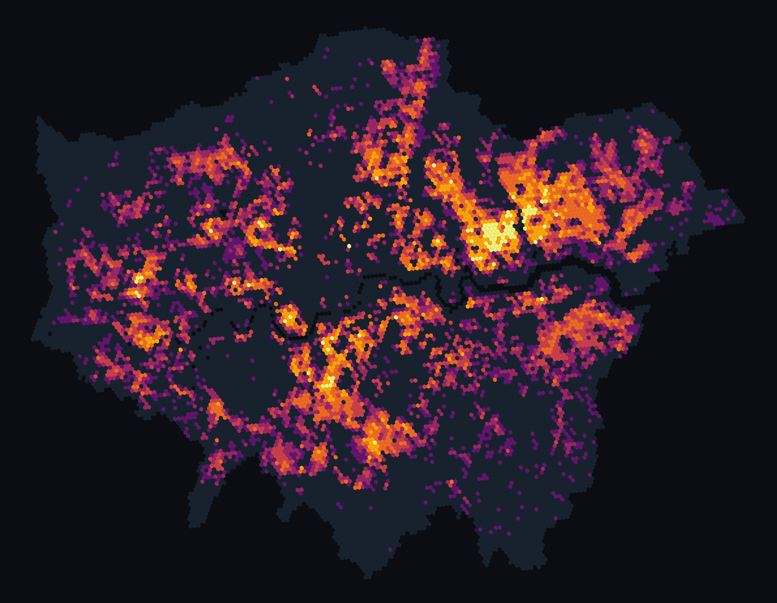
A 25-minute guided QGIS 4.2 build plus 5 minutes of questions. Open one London heat dataset, prove what it contains, catch a map that loads but colours nothing, fix it and export a checked PDF.
Works offline, with no account, plug-in or API key. The authored materials are free to reuse and adapt under CC BY 4.0; the data sources keep their own terms.
A short brief on three decisions: comparing pay with official figures, checking whether you can work where a role is based, and choosing what to learn next.
Tell us about your role, tools, skills and pay. Answers are kept for 24 months, no group smaller than 5 people is ever published, and you can delete yours by email.