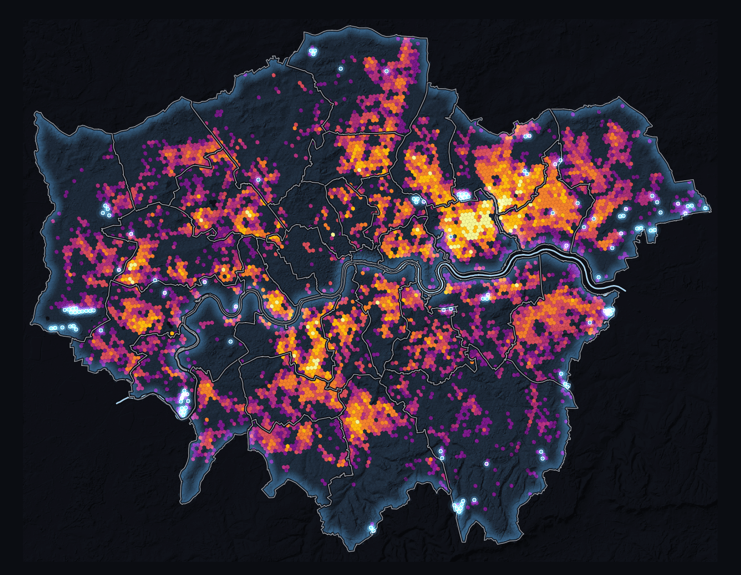
London, one checked heat dataset
From cloud data to a city story
Where Heat Meets People
Inspect London's heat evidence in QGIS.
Follow a checked London project from evidence and coordinate systems to an intentional map and one checked PDF.
- 25-minute build plus five-minute questions
- Foundations through checked spatial processing
- Replay, QGIS Layout, A3 PNG and PDF